EEA GIS documentation
EEA GIS documentation - Photo gallery
EEA GIS documentation
EEA GIS documentation - Photo gallery

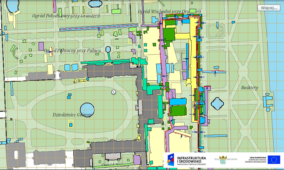
The effects of research conducted as part of the project “Social education in the conflict between urbanisation and ecology at the Wilanów Palace Museum” were continuously recorded. To record the current state of research, we used the GIS (Geographic Information System) database platform, which enables registration and supplementation of knowledge about the museum’s already inventoried natural and historical resources. The research results are presented in the form of resource maps and thematic maps. We invite you to familiarise yourself with the geodatabase and the analysis results: http://gis.muzeum-wilanow.pl/bioroznorodnosc/.
The Museum of King Jan III’s Palace at Wilanów has long been using the GIS platform to describe the historic space. The materials developed so far in GIS include the facades of the palace, the area of the historical park and the sites of archaeological excavations.
We encourage you to familiarise yourself with other GIS maps (including palace facades, historical park area, archaeological excavation sites): http://gis.muzeum-wilanow.pl/
We invite you to read the interview with Małgorzata Przeździęk, the museum’s GIS administrator, in which she explains how GIS works and talks about the functionalities and advantages of the system.
The project “Social education in the conflict between urbanisation and ecology at the Wilanów Palace Museum” was implemented from the funds of the Operational Programme: PL02 “The protection of the biological diversity and ecosystems of the EEA FM 2009–2014”.